Home > Europe > United Kingdom > England > London > Boroughs > Hounslow
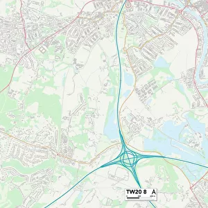
Hounslow TW13 6 Map

![]()
Wall Art and Photo Gifts from Map Marketing
Hounslow TW13 6 Map
Postcode Sector Map of Hounslow TW13 6
Media ID 19982278
Armstrong Road Beech Way Birch Road Broadlands Burgess Close Conway Road Cresswell Road Crosby Close Cross Road Devonshire Road Dickenson Road Fairlawn Close Fir Road Forge Lane Gabriel Close Glebe Way Green Close Green Lane Grove Crescent Hampton Lane Henley Way Holly Close Hounslow Longford Close Main Street Malvern Drive Manor Drive Mount Road New Close New Road Nursery Gardens Osborne Close Oxford Way Park Road Ridge Way Riverdale Road Shepherd Close South Close South Road St Albans Avenue St Georges Road St Johns Road Swan Close Swan Road Swift Road The Alders Twickenham Road York Way Hanworth
FEATURES IN THESE COLLECTIONS
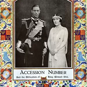
> Arts
> Artists
> B
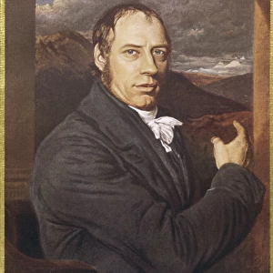
> John Burgess
> Arts
> Artists
> S
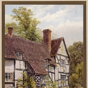
> George Shepherd
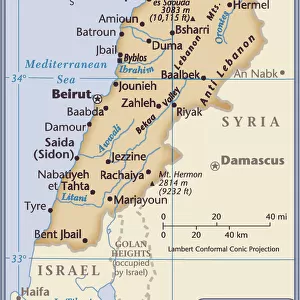
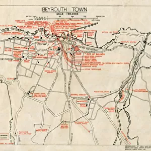
> Asia
> Lebanon
> Related Images
> Europe
> United Kingdom
> England
> London
> Boroughs
> Hounslow
> Map Marketing
> Postcode Sector Maps
> TW - Twickenham
> Maps and Charts
> Related Images
> North America
> United States of America
> New York
> New York
> Maps
> North America
> United States of America
> New York
> Related Images
MADE IN THE USA
Safe Shipping with 30 Day Money Back Guarantee
FREE PERSONALISATION*
We are proud to offer a range of customisation features including Personalised Captions, Color Filters and Picture Zoom Tools
SECURE PAYMENTS
We happily accept a wide range of payment options so you can pay for the things you need in the way that is most convenient for you
* Options may vary by product and licensing agreement. Zoomed Pictures can be adjusted in the Cart.